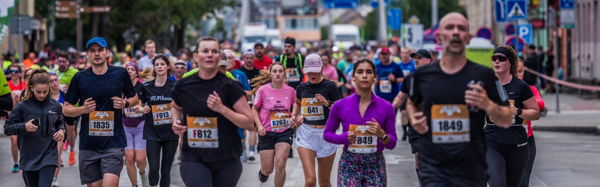
The points of interest along the race course are mentioned below, arranged following the course from start to finish.
The Black Tower is a freestanding city tower dating back to 1577. Standing 72 metres tall, it offers panoramic views from its 46-metre-high observation deck, reached by climbing 225 steps. Inside are six historic bells, including the famous Bummerin bell from 1723, the largest in the city. The lower part of the tower is Gothic, while the upper gallery and dome were built in Renaissance style. One of its most interesting features is the astronomical clock on the exterior wall, which shows the position of the Moon.
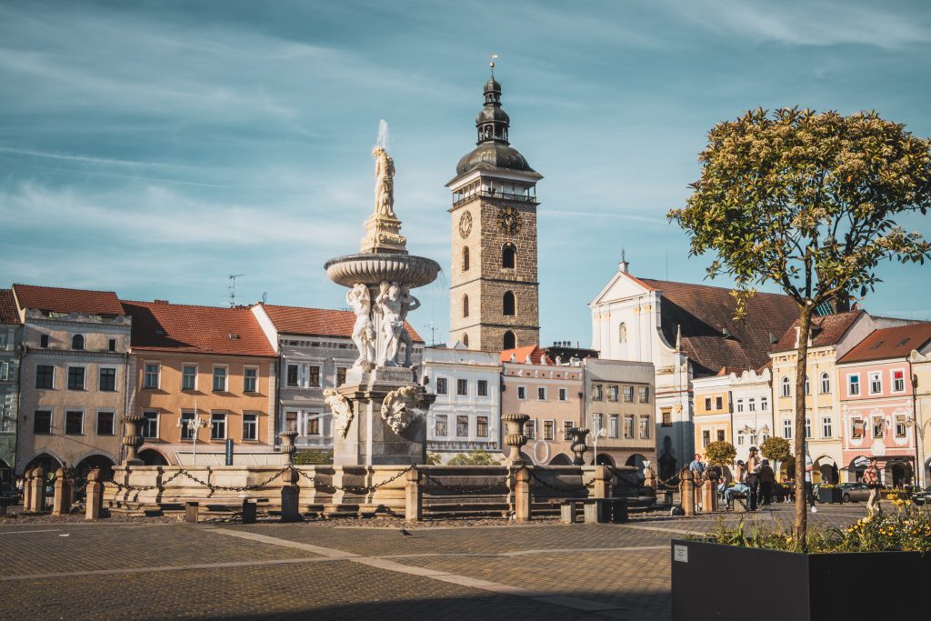
Samson Fountain is the largest Baroque fountain in the Czech Republic and one of the main symbols of České Budějovice. It was built between 1720 and 1727 as part of the city’s reconstruction after the Thirty Years’ War and originally served as a water supply source for the surrounding streets. The fountain is dominated by a sculpture of the biblical Samson fighting a lion, standing on a circular basin supported by four Atlases. The stone basin measures 17 metres in diameter and becomes a popular cooling spot during the summer months. Some of the original decorative elements are now preserved in the city hall building.
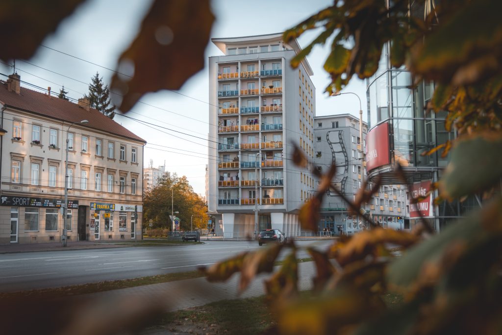
This iconic building designed by Bohumil Böhm, known as Koldům (short for “collective house”), was one of the first experiments in communal housing in former Czechoslovakia. The building included shared facilities and communal spaces. Smaller studio apartments were intended as temporary accommodation, while larger flats were designed for families. The building offered unusually modern amenities for its time, including a shared restaurant, panoramic café and even a cinema. It was also the first fully prefabricated apartment building in the region and had a major influence on later residential development across South Bohemia.
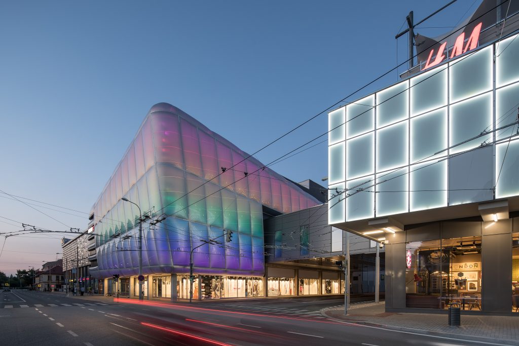
Today, IGY Centre is the largest shopping and social hub in South Bohemia, but its history goes far beyond modern retail. The complex was created by redeveloping former military bakeries and warehouses dating back to the 18th century. The architects preserved parts of the original industrial buildings and carefully combined them with contemporary architecture. Today, IGY serves as a multifunctional space with shops, restaurants, a cinema, services and cultural events, making it one of the city’s most distinctive modern landmarks.
Sluneční ostrov (Sun Island) is a newly developed riverside leisure area along the Vltava River, designed for relaxation, swimming and spending time outdoors. The site features piers, water access points, walking paths and landscaped natural surroundings. The project was created as part of the “City and Water” urban development concept and officially opened to the public in 2025.
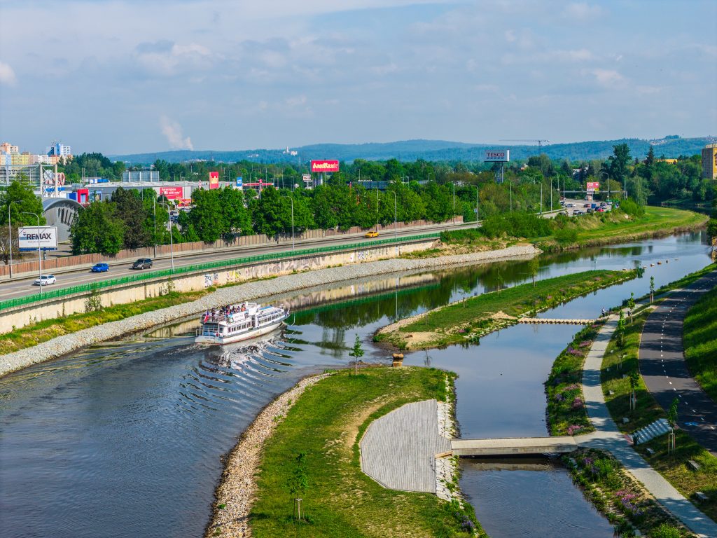
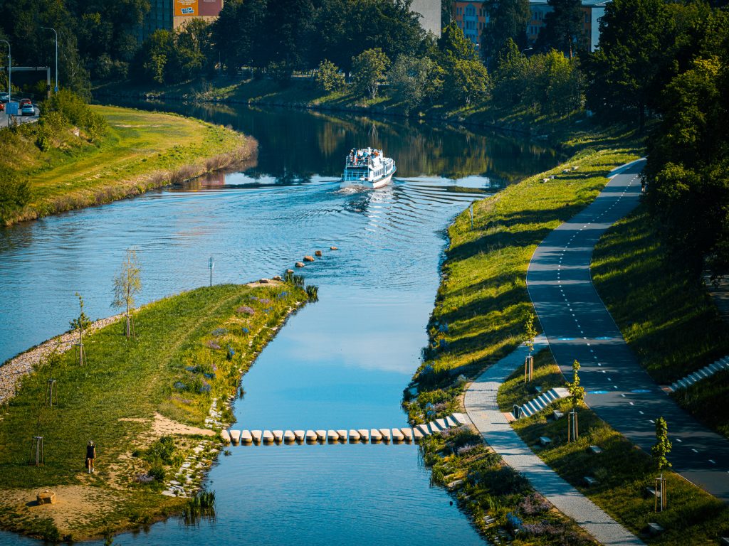
Located on the opposite riverbank, Lannova loděnice (Lanna Shipyard) is an important historical site connected to river transport and trade on the Vltava River. Ships had been built here since the mid-16th century, and the site is closely linked to the Lanna family, especially the prominent businessman and builder Vojtěch Lanna, who was born here in 1805. The shipyard played a key role in transporting salt and other goods from South Bohemia to Prague and is now considered one of the city’s most valuable technical and historical monuments.
Zátka Villa is an outstanding example of Functionalist architecture built in 1932 for businessman Miroslav Zátka, a member of one of České Budějovice’s most prominent families. The villa was designed by architects Josef Šlégl and Jaroslav Stránský and is regarded as one of the city’s finest examples of modern architecture. It is characterised by its terraces, bold cornices and seamless connection between the interior and the surrounding garden. After World War II, the building served as a kindergarten, and today it is listed as a protected cultural monument.
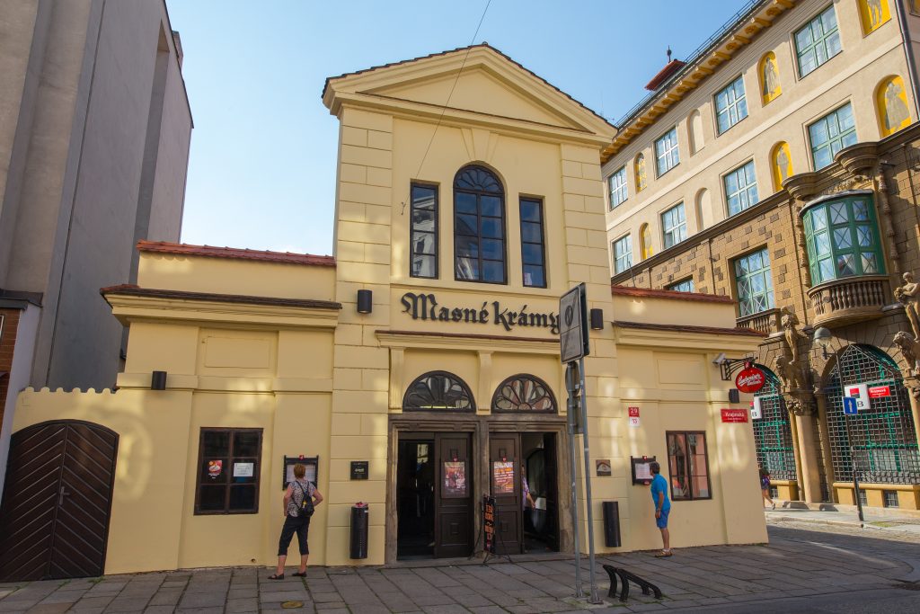
The historic Masné krámy (Meat Market Hall) is one of the oldest market buildings in České Budějovice. Today it houses a restaurant, but in the past it was where merchants sold fresh meat and other essential goods for everyday city life. Originally, meat was sold directly on the main square, but for hygiene reasons a covered market hall was later built in Krajinská Street. Remnants of the original market stalls can still be seen inside the building today.
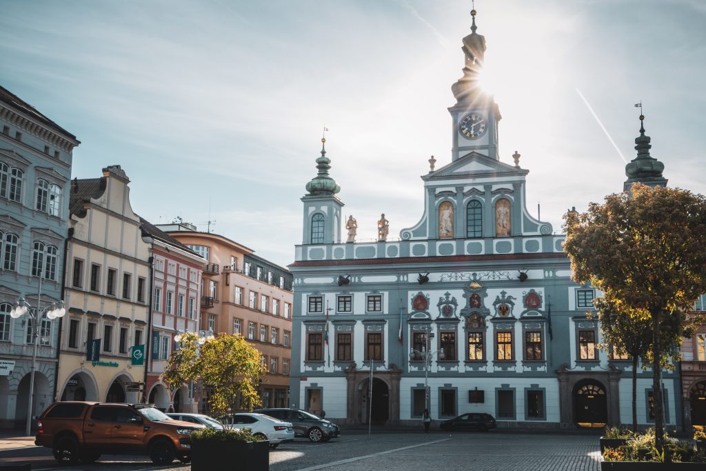
České Budějovice City Hall is one of the city’s most important Baroque landmarks. Originally a Renaissance building from the 16th century, it gained its current grand appearance during a Baroque reconstruction between 1727 and 1730 based on designs by architect A. Martinelli. The façade is decorated with three towers and four allegorical statues representing the civic virtues of Justice, Courage, Wisdom and Prudence, created by sculptor Josef Dietrich. Other interesting features include the carillon in the central tower and an iron measuring bar built into the corner of the building, once used as an official market measure for selling textiles.
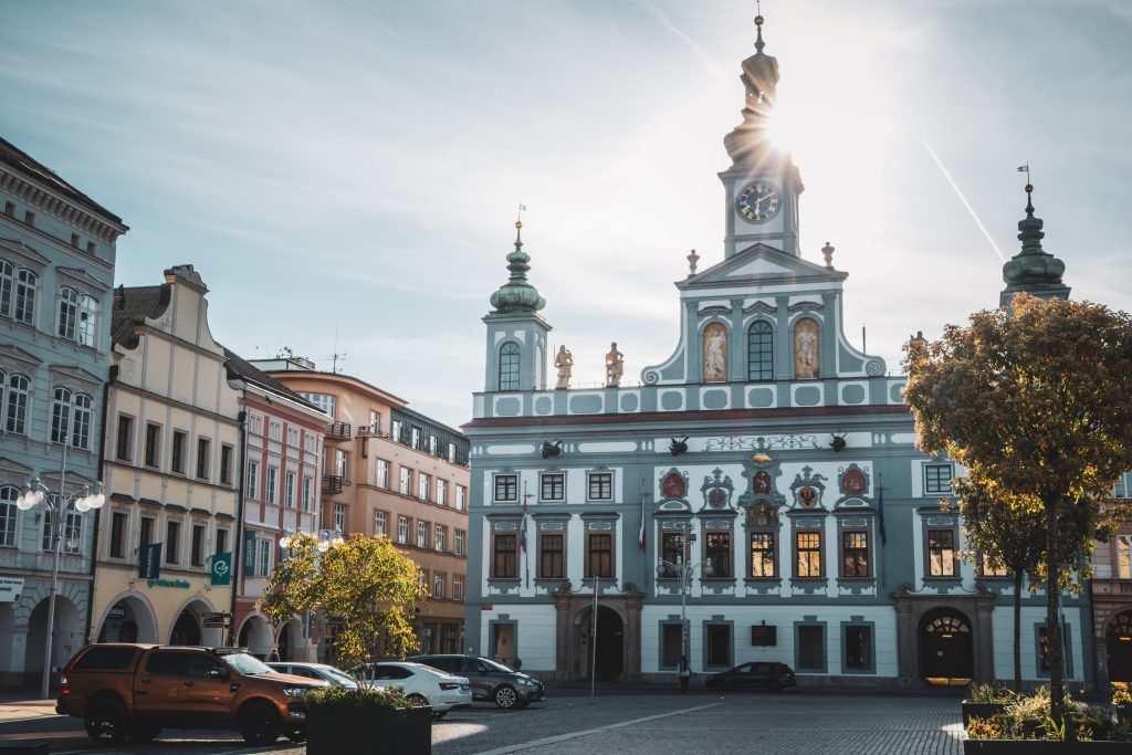
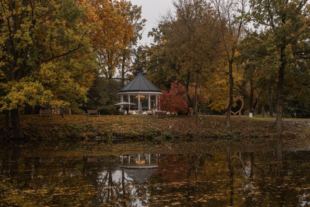
Háječek Park lies just south of the confluence of the Vltava and Malše rivers. Until 1802, the site was occupied by the former Krumlov Pond. The original park was much larger, though part of it later made way for the construction of the ice stadium. In the past, the park was home to a zoo, which before World War II was replaced by a botanical garden. Today, visitors will find an observatory, an open-air cinema and a café here.
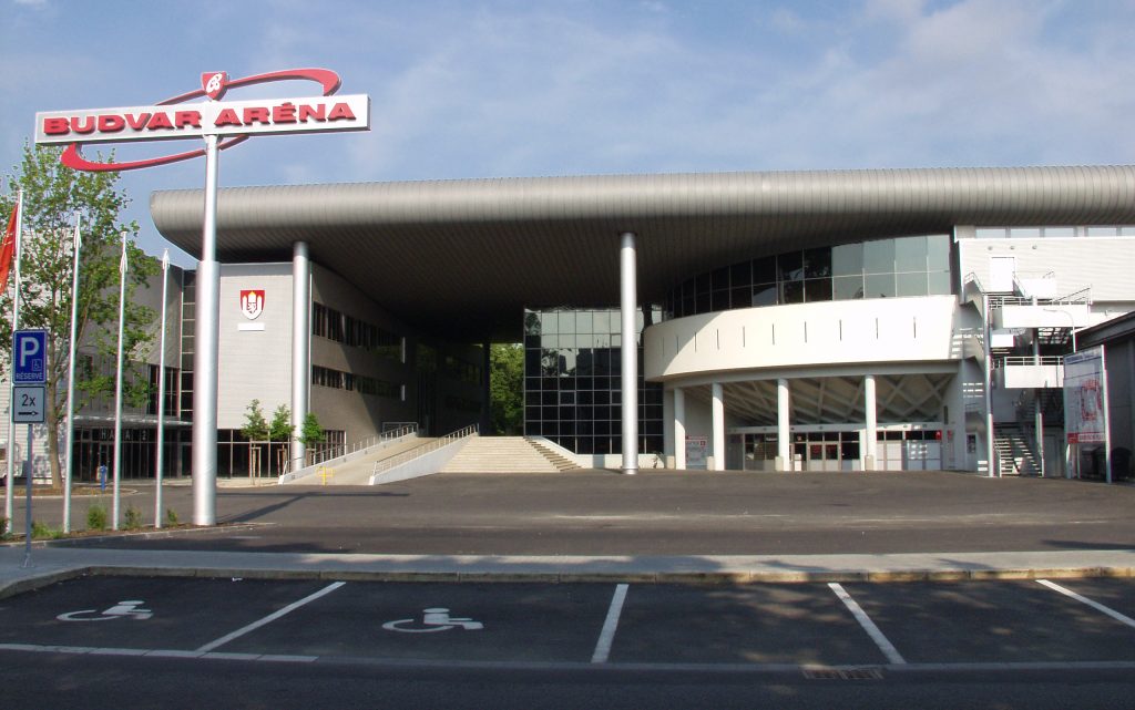
Budvar Arena is a modern ice hockey stadium and the home venue of Banes Motor České Budějovice. Originally opened in 1946, it is one of the oldest indoor ice arenas in former Czechoslovakia and underwent a complete reconstruction in 2001–2002. Besides hockey matches, the arena has hosted several major sporting events, including the Volleyball World Championship and the IIHF U18 Ice Hockey World Championship. In 2025, it will also host the IIHF Women’s World Championship.
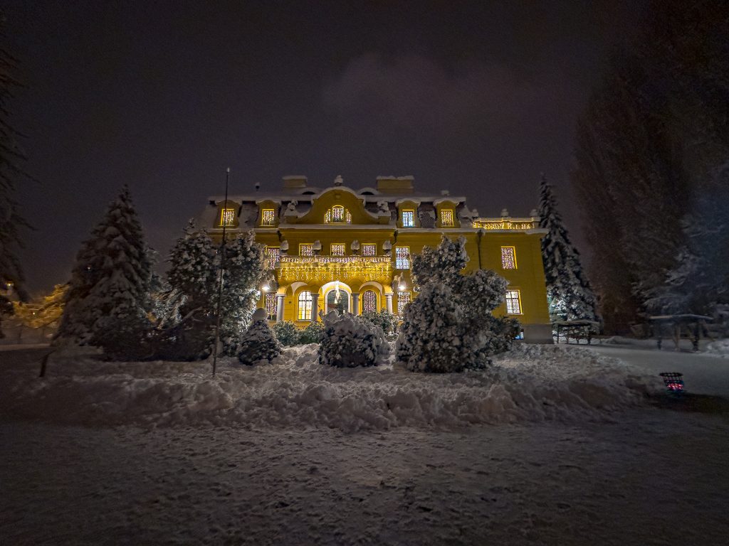
Hardtmuth Villa is one of the most significant villas in České Budějovice. This Neo-Baroque residence was built in 1911 for Franz von Hardtmuth, owner of the famous Koh-i-Noor Hardtmuth pencil company. The villa features richly decorated interiors, a grand entrance hall, a winter garden and many original architectural details. Today, the building houses a children and youth centre and is regularly open to the public during guided tours and cultural events. The villa is also protected as a cultural heritage monument.
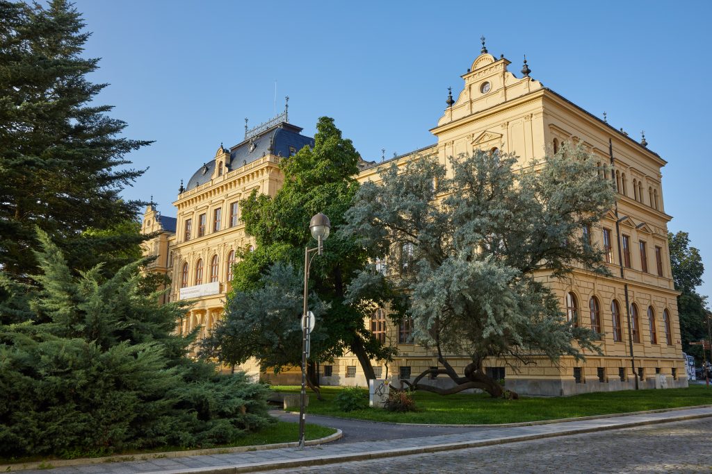
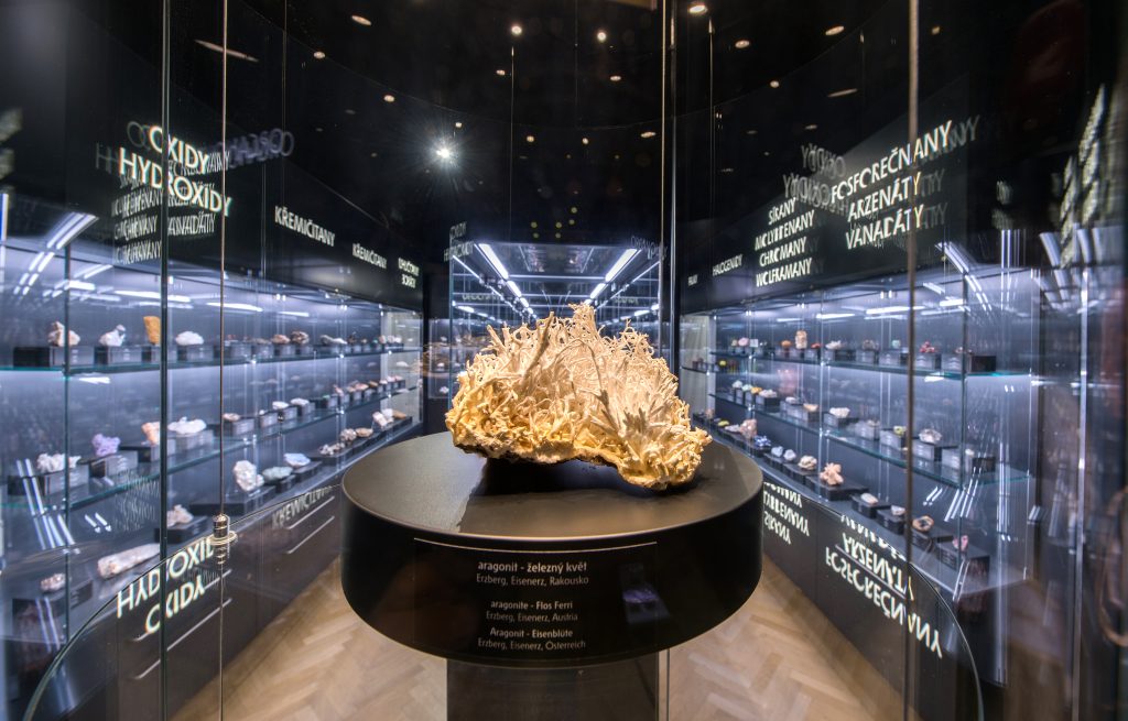
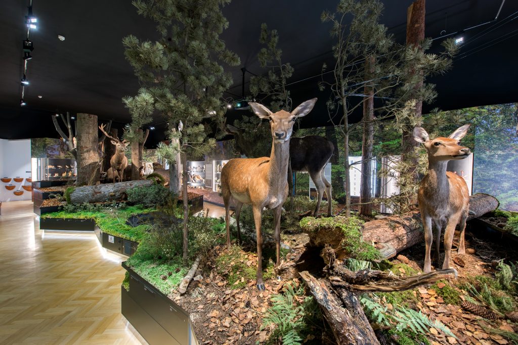
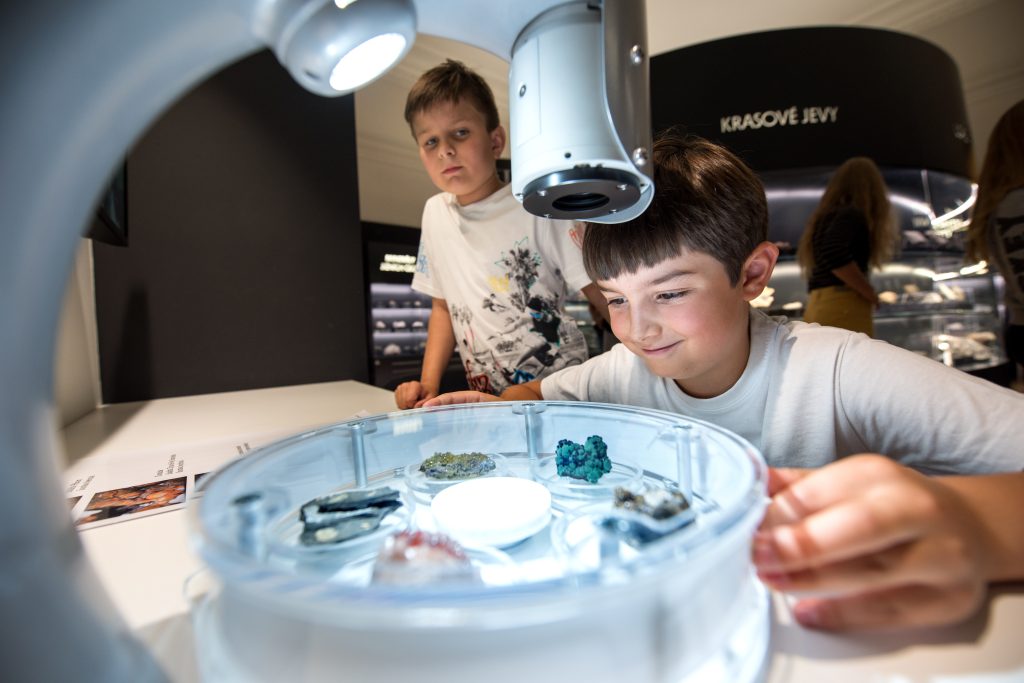
The South Bohemian Museum in České Budějovice is one of the region’s leading cultural institutions, focusing on local history, nature, archaeology and folk traditions. Visitors can explore permanent exhibitions such as “The Story of the City” and “Nature, Archaeology and Ethnography”, as well as regular themed exhibitions, lectures and cultural events. Popular events include Museum Night, guided full-moon walks and exhibitions of orchids and carnivorous plants. The museum also offers a modern mobile app featuring quizzes, mini-games and augmented reality experiences.
Dle podkladů Jihočeské centrály cestovního ruchu a CzechTourism
Foto: Jihočeská centrála cestovního ruchu